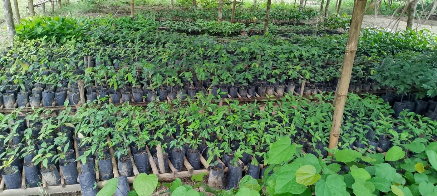
Reforestation & Forest Restoration Initiative
Growing forests today for a greener, more resilient Liberia. Our tree nursery is being developed to power community-based restoration, starting in Grand Cape Mount County.
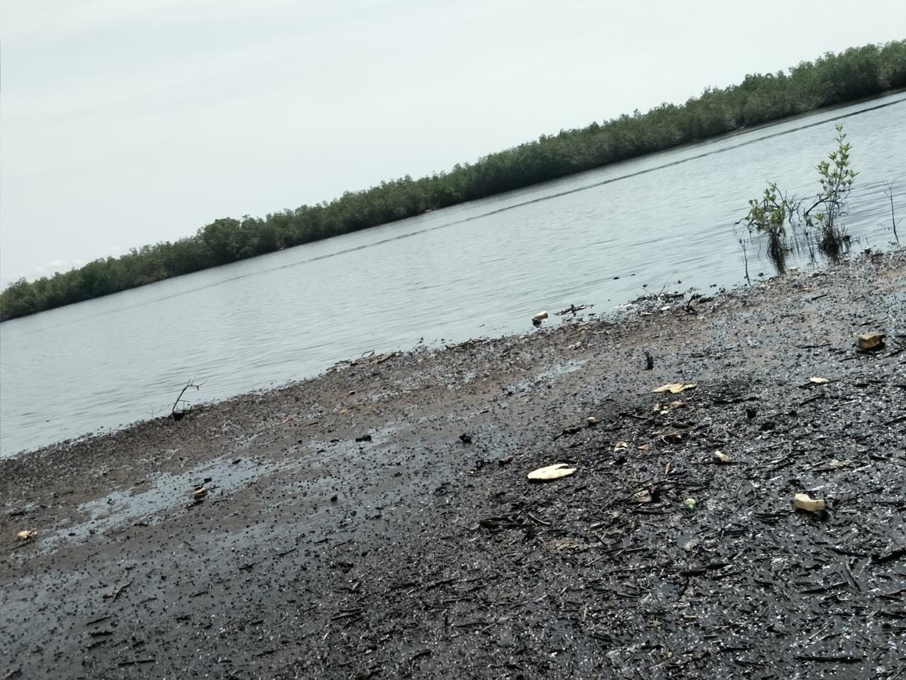
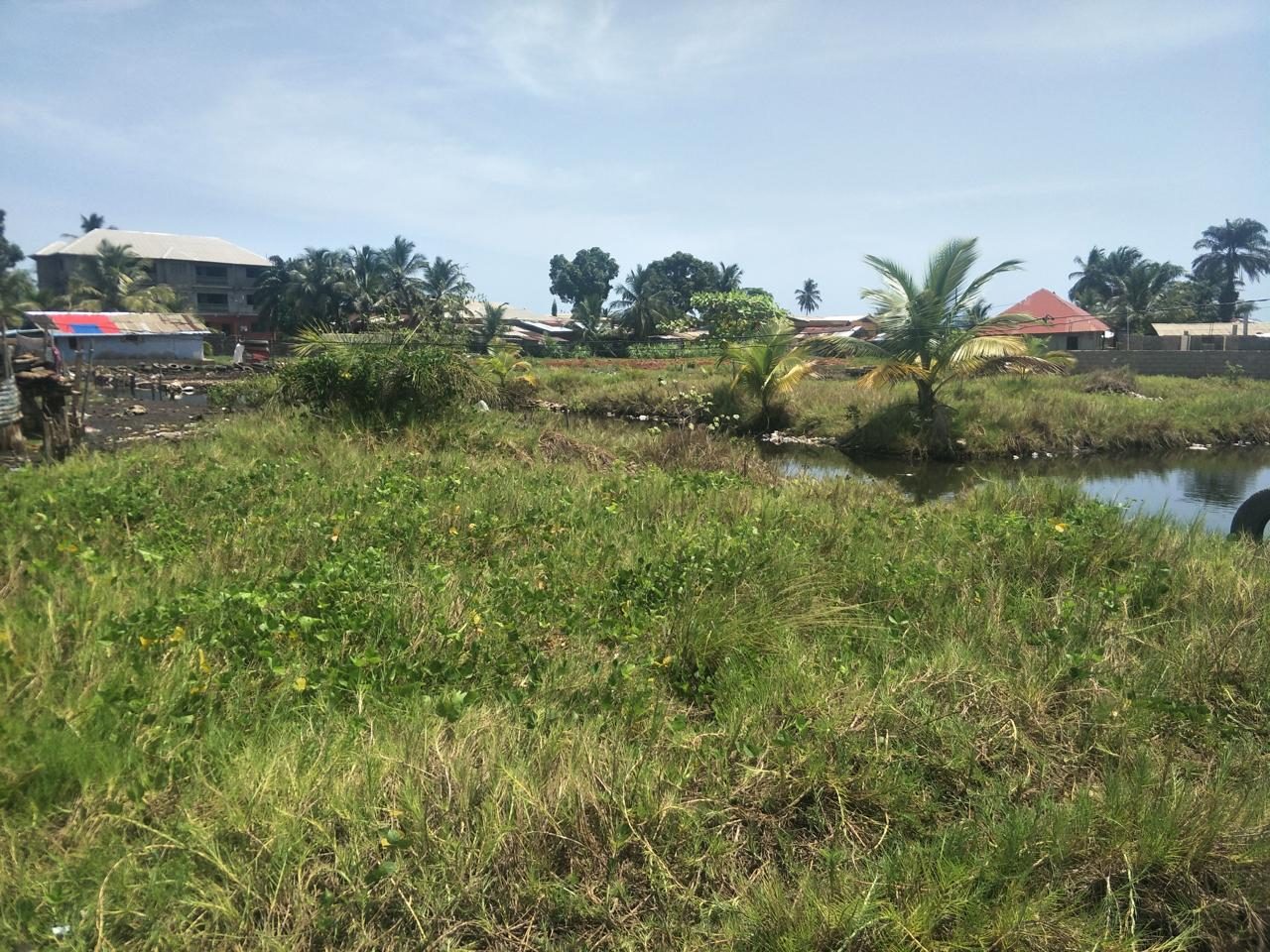
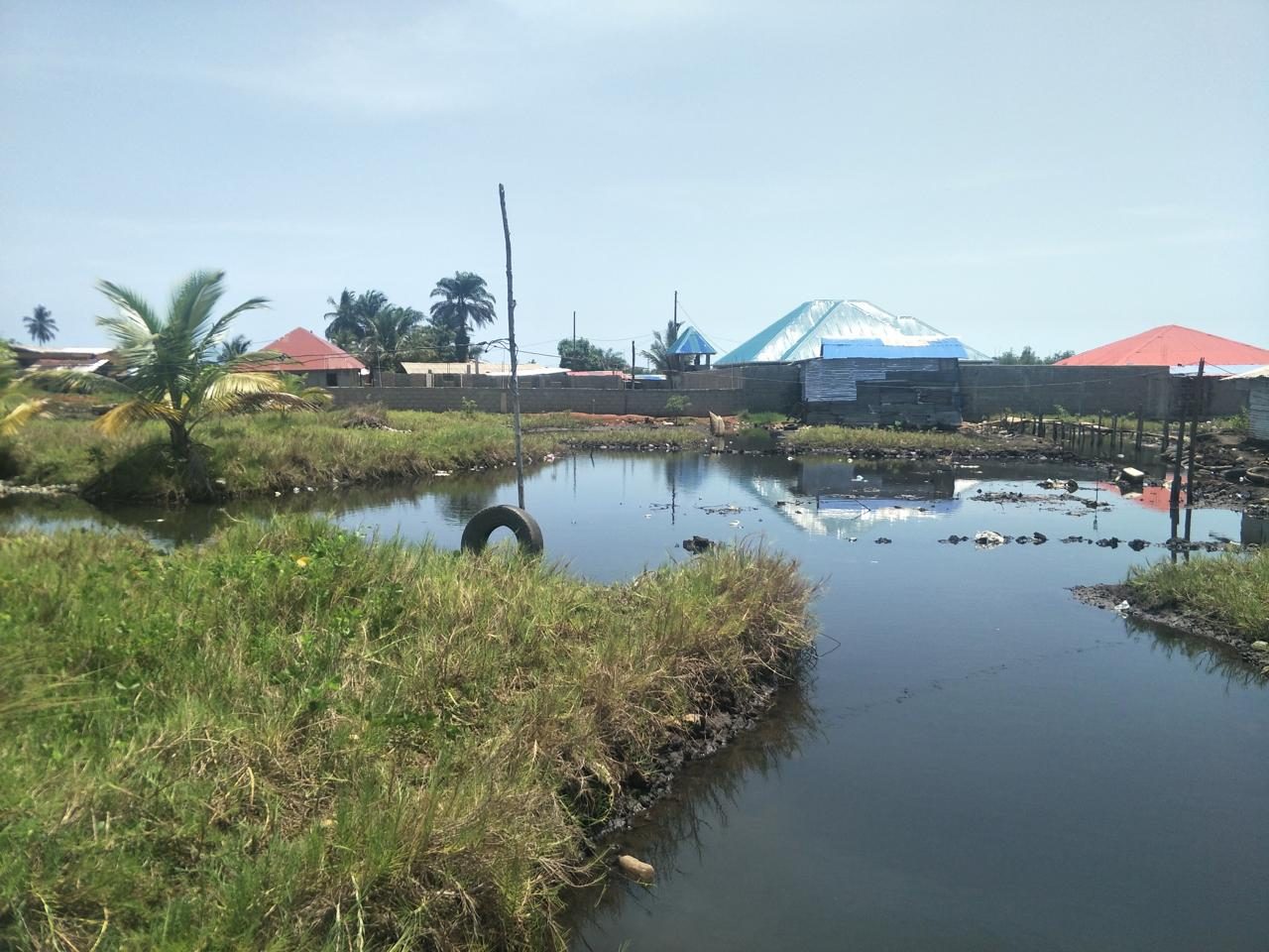
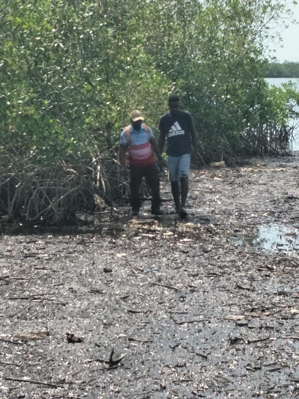
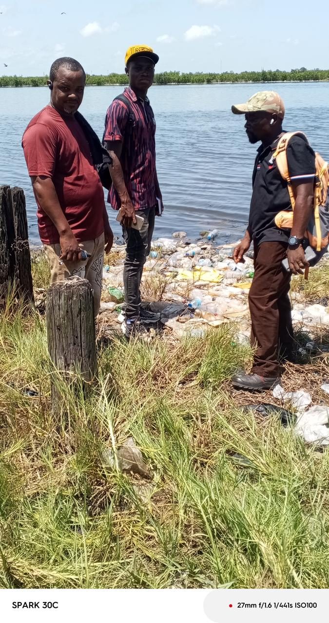
Read full detailsOn May 11, 2026, Earth Rangers conducted a field-based technical feasibility study in the Montserrado Wetland area, covering locations near Gabriel Tucker Bridge along the Montserrado River and extending toward SKD Boulevard. The purpose of the study was to collect preliminary site-specific information, document geographical locations, assess field accessibility, and identify physical conditions that may affect future wetland conservation, environmental monitoring, and sustainable management activities.
A four-member field team documented 16 geographical capture points using field observations, photographs, and video recordings, noting challenging terrain, including a deep swamp along part of the riverbank.
The field exercise produced preliminary geospatial records, photographic and video documentation, and observations of site conditions to support further technical assessment and planning. These outputs provide an initial evidence base for identifying areas requiring additional investigation and determining the next steps for wetland assessment and conservation planning.
Growing forests today for a greener, more resilient Liberia. Our tree nursery is being developed to power community-based restoration, starting in Grand Cape Mount County.
Read full detailsWe welcome partnerships and support from donors, development organizations, government institutions, businesses, conservation partners and individuals.
Partner with us